Built to one master plan
A single development authority sets the road hierarchy, the utilities and the zoning, and publishes the rulebook. You can read what’s permitted on a plot before you buy it.
First planned greenfield smart city of India, on the Delhi–Mumbai Industrial Corridor.


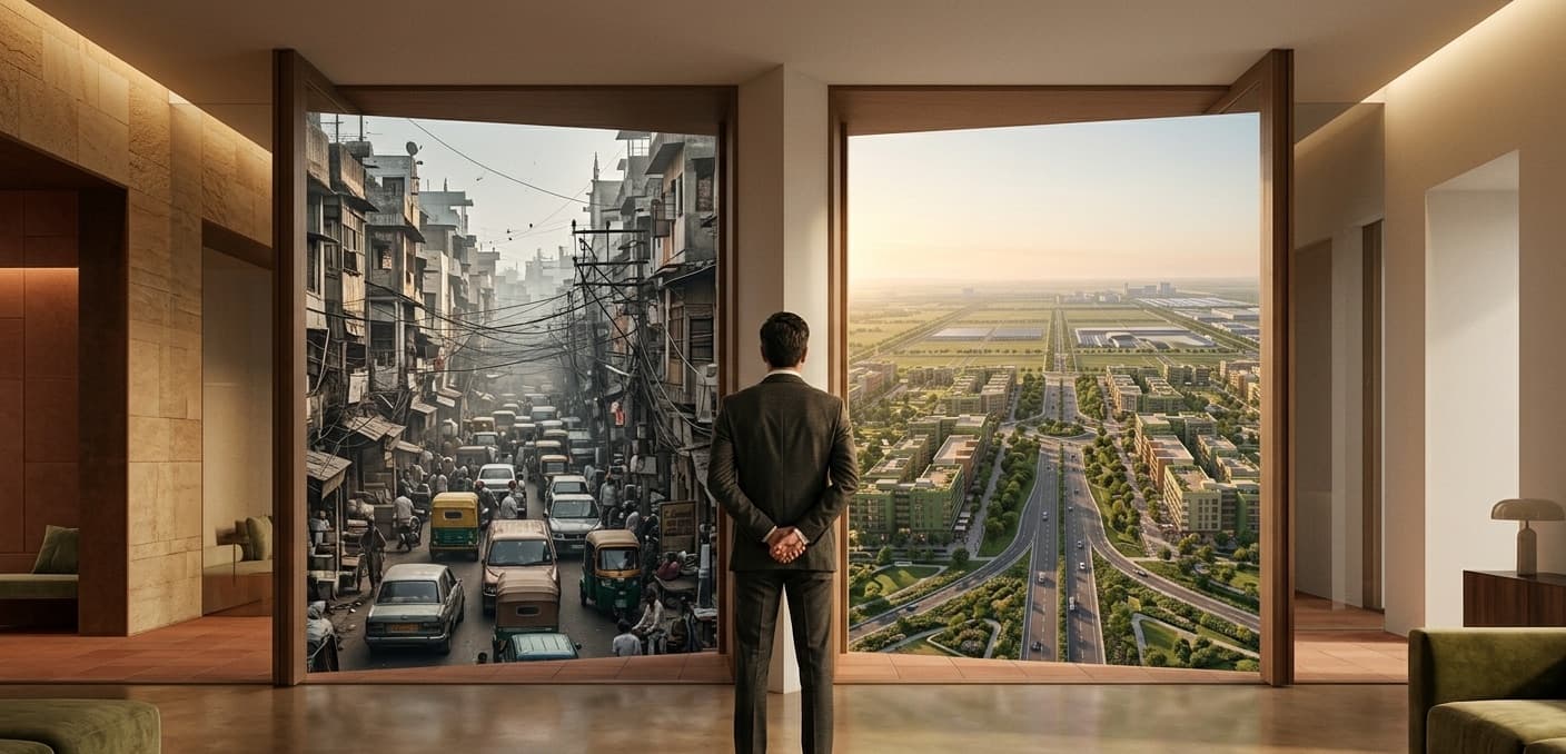

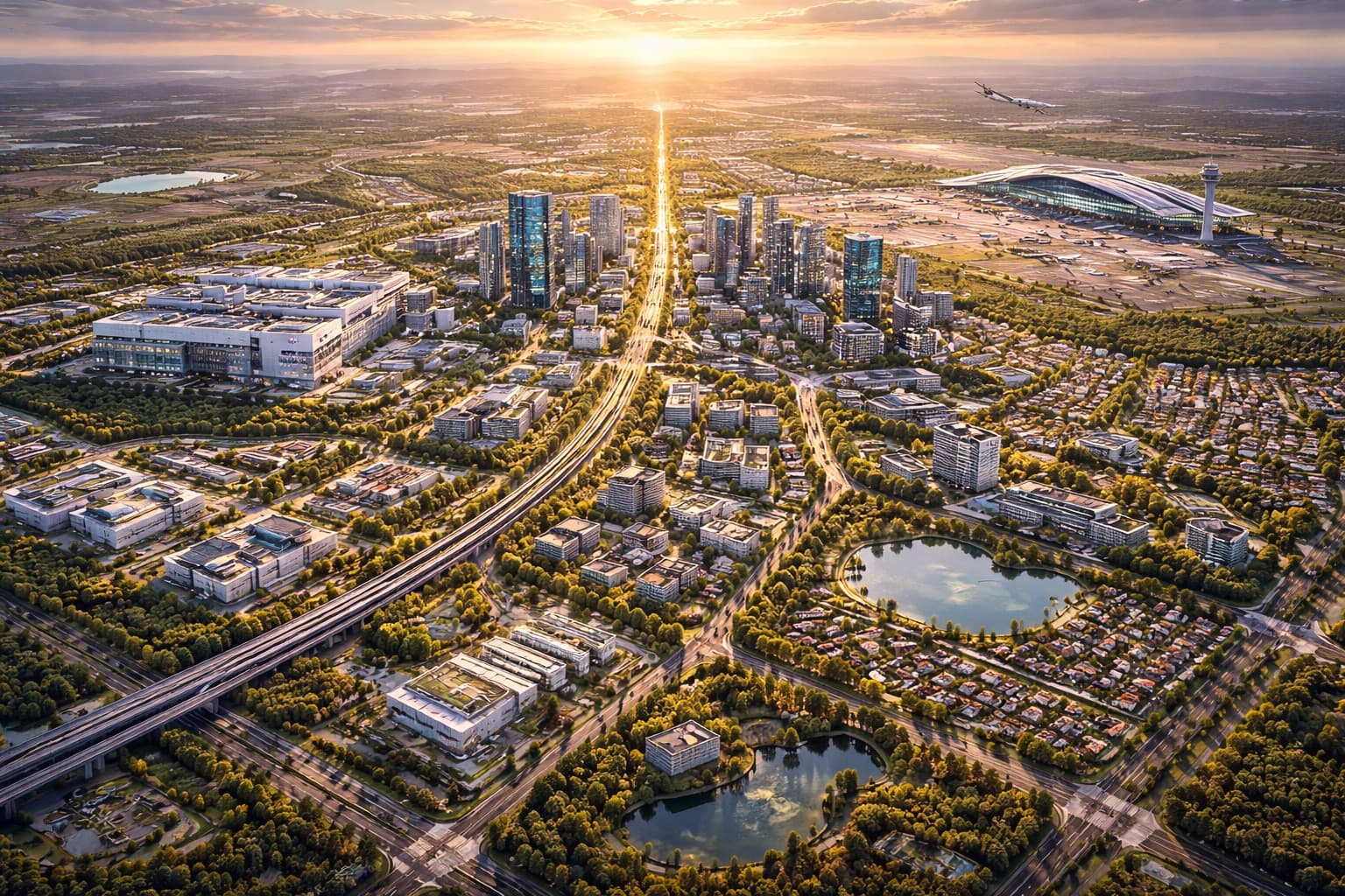

Artist’s impressions and conceptual renders depicting a future vision of Dholera — not actual photographs of the city as it stands today.
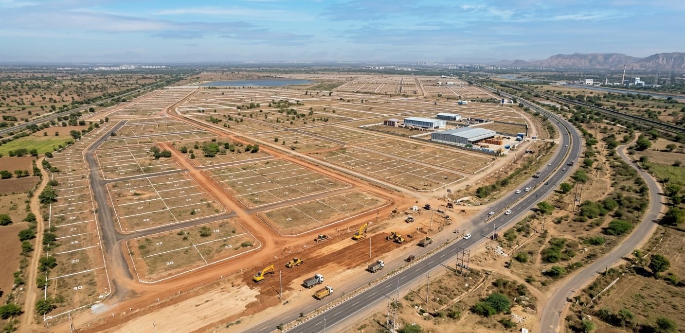
Dholera Special Investment Region is a 920 km² greenfield city being built by the Government of Gujarat on the Delhi–Mumbai Industrial Corridor — one master plan, one published rulebook, and the infrastructure to match. We hold inventory inside it and we keep the regulations transparent, so you decide from the facts.
Dholera SIR is a 920 km² greenfield region planned by the Dholera Special Investment Regional Development Authority (DSIRDA), a Government of Gujarat body, as an anchor node of the Delhi–Mumbai Industrial Corridor (DMIC).
Unlike a private township, the master plan, the road grid, the utility network and the zoning are designed and enforced by DSIRDA. The General Development Control Regulations (DGDCR) define exactly what can be built where — across 15 land-use zones. We’ve reproduced the buildable zones in full below.
A single development authority sets the road hierarchy, the utilities and the zoning, and publishes the rulebook. You can read what’s permitted on a plot before you buy it.
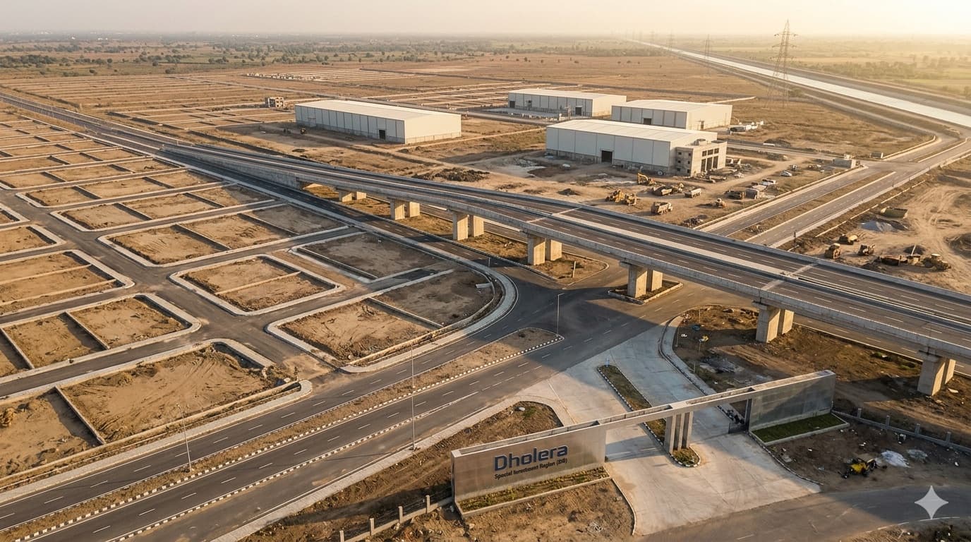
An access-controlled expressway to Ahmedabad, an international airport within reach, and a broad-gauge freight line on the DMIC. The connectivity is structural — engineered into the plan, not promised for later.
Tata Electronics’ fab anchors the Industrial zone. Anchor industry pulls suppliers, jobs, housing and services — the kind of demand base a greenfield city needs to become a real one.
The complete development-control table for every buildable zone, reproduced from the DGDCR. Density (FAR), ground coverage, height and setbacks are keyed to the width of the road a plot sits on — wider roads unlock taller, denser buildings. Pick a zone to see its complete rules.
| Road ROW | Min. plot | Max FAR | Max ground coverage | Max height | Min. setbacks · F·R·sides (m) |
|---|---|---|---|---|---|
| Residential Zone | |||||
| 55 m & above | — | 2.0 | 60% | G+5 / 18 m | 5 · 6 · 6 |
| 25 – <55 m | — | 1.5 | 60% | G+3 / 15 m | 5 · 5 · 5 |
| < 25 m | — | 1.0 | 50% | G+2 / 10 m | 3 · 3 · 3 |
| Permitted uses — Multi-storey apartments; row houses; villas / bungalows; EWS housing; old-age homes; night shelters. On wider roads also: neighbourhood retail & service shops, restaurant / café, hawker zone, vegetable market, commercial centre, primary & secondary schools, multi-purpose ground, veterinary hospital, dispensary, place of worship (<1000 sqm), community & banquet hall, library, health-club, swimming pool, public utility buildings. On 55 m+ roads: cinema hall, retail mall, petrol/CNG/LPG pump, bank, Hospital A & B. | |||||
| Applies to plots ≤ 3 ha; larger plots follow the Subdivision Guidelines (Ch. 11). | |||||
We publish this as a starting point for diligence, not as a substitute for the regulation. Source: DSIRDA Draft General Development Control Regulations, Chapter 10 (Zoning Regulations).
We’re a Gujarat-based real estate group, and we expect to be working this corridor for the next two decades, so our incentive is to be right over the long run, not to close a fast deal. That means telling you what we know plainly, including the parts that don’t help a sale.
In practice, we only work on a curated set of plots we have verified, each checked against the DGDCR zoning and its title before we put it in front of you. We stay with you through diligence, paperwork and registration. If you want to see the specific plots we hold, or simply talk through whether Dholera fits your portfolio, reach out to us.
Tell us a little about what you’re looking for — investment size, timeline, zone interest, or questions about the corridor. We’ll come back within one working day.